- Home
- War in the Middle East
- Hodhod Footage: What Is Hezbollah’s Objective?

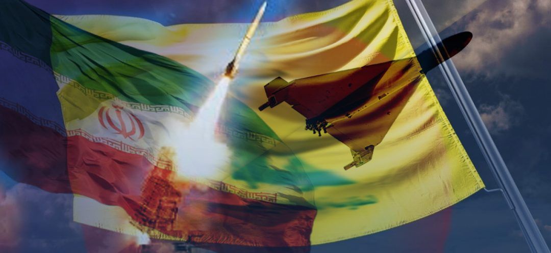
The Iranian-made drone (developed by Shahid Sattari University of Aeronautical Sciences and Technologies) that flew over several areas of Israeli territory, and allegedly enabled Hezbollah to release a ten-minute video on Tuesday, raises several questions about the process and the messages being conveyed.
How was the drone able to take high-resolution images of "sensitive" sites at a relatively low altitude? Were these images taken solely by the drone? What message did Hezbollah intend to send? How would Israel react?
Named Hodhod 3 after the hoopoe bird, which became Israel's emblem in 2008, the drone used by Hezbollah for transmitting "very important scenes" to "watch and analyze," as recommended by the pro-Iranian group, had a three-way mission.
According to retired General Khalil Helou, the first objective is to "brandish a threat against Tel Aviv, boost the morale of Hezbollah's supporters and fighters, and send a clear message to the American envoy, Amos Hochstein."
During his mission in Israel and Lebanon on Monday and Tuesday, Hochstein conveyed Israel's war threats against the country to Lebanese political leaders during his brief visit to Beirut.
The Hodhod 3
Measuring approximately 3.3 meters in length, the Hodhod 3 has a wingspan of about 5 meters and weighs 90 kg. As a wheeled drone, it requires a 150-meter runway for both takeoff and landing. Its speed ranges between 70 and 120 km/h, and its range is estimated at 100 km, meaning that once this distance is covered, the drone risks falling if it does not land "in time."
Launched from Lebanon, the Hodhod likely took off from the south of Tyre and the north of Naqoura, flying over the sea at a very low altitude before reaching Haifa, located approximately 30 km from Lebanon. According to General Helou, the calculation is simple: "With 30 km for the outward journey, 30 km for the return, we are at 60 km, to which 40 km of overflight of the areas in question should be added, for a total of 100 km, this figure being indicative of its range."
With stealth and silent flight capabilities (emitting no noise or thermal signature), it is impossible to detect or intercept this drone via a ground-based radar. Only an aircraft flying at a higher altitude than the drone's flight path can detect its presence.
A bank of military and civilian targets
The areas (military, civilian and strategic) shown in the video released by Hezbollah are numerous. They include the cities of Kiryat Shmona, Nahariya, Safed, Karmiel, Afula, Haifa and its port, with Israeli warships. "The most astonishing thing," explains Jean-Sébastien Guillaume, founder of Celtic Intelligence, "is the overflight of the military-industrial complex belonging to Rafael Advanced Defense Systems, which includes numerous factories, warehouses and test fields where components of Israeli defense systems such as the Iron Dome and David's Sling are manufactured and assembled."
Additionally, according to Guillaume, the video shows Iron Dome and David’s Sling platforms, part of the test tunnel, rocket motor storage, air defense missile components manufacturing facilities, control and guidance systems factories, the company's administrative buildings, and missile test radars.
The video also shows, still according to Guillaume, a detailed view of Krayot, a suburb north of Haifa, comprising six cities with a population of 260,000 Israelis. "Hezbollah published a complete high-definition view of this urban agglomeration, with a real-time tour of the various districts and neighborhoods, including official Israeli residences and commercial complexes," he noted.
A compilation of images?
However, these images are not new. This is what both General Helou and Guillaume agree on. According to them, they are "easily compilable from satellite images." Nevertheless, with the Hodhod, such shots are easy to take, as the drone is equipped with high-resolution cameras for taking 16 Megapixel and HD photos.
However, it is very likely a "collection of photos from several flights carried out over several months, as well as from Iranian or even Palestinian intelligence and Iranian satellites," added both the retired general and Guillaume.
It is worth noting in this context that Iran has several surveillance satellites over the Middle East: Nour-1, launched in April 2020; Nour-2, put into orbit in March 2022; and Nour-3, placed 450 km above the Earth in September 2023.
Three other satellites were launched in 2024, providing images of quality comparable to those released by Hezbollah on Tuesday.
Hezbollah’s message vs. Israel’s reaction
On the Israeli side, increased vigilance and aggressiveness can be expected to prevent any strike against Haifa, as the release of such images of sensitive military zones and infrastructure could be perceived as a violation of Israel's sovereignty and national security. "Even if this information is accessible in some way, the fact that it was disclosed by Hezbollah is perceived as a provocation and would support Israeli government propaganda in its media campaign if the government decided to attack Lebanon," noted Guillaume.
From a military standpoint, "when we have this kind of intelligence, we do not reveal it to avoid informing about the next attack targets," explained General Helou.
According to Guillaume, this drone affair hides deeper issues. "Beyond the accusations and counter-accusations, it seems that Hezbollah's real goal is to maintain and push its presence south of the Litani River," he said. "By releasing these surveillance images (whether from satellite or drone, the method is not the main issue as Hezbollah has already carried out such maneuvers in the past), the pro-Iranian group seeks to raise the stakes and justify its refusal to withdraw north of the Litani."
Israel, on the other hand, could fully exploit this incident to sway public opinion against Hezbollah and legitimize the continuation of the military conflict.
Both sides seem primarily engaged in a power struggle to preserve their respective positions on the domestic political front.
Read more


Comments